Transport & Getting Around in Thu Thiem
How transport actually works in Thu Thiem in 2026 — the bridges and tunnel, ride-hail, buses, the future Metro Line 2, and the practical commute patterns to District 1 and the wider city.
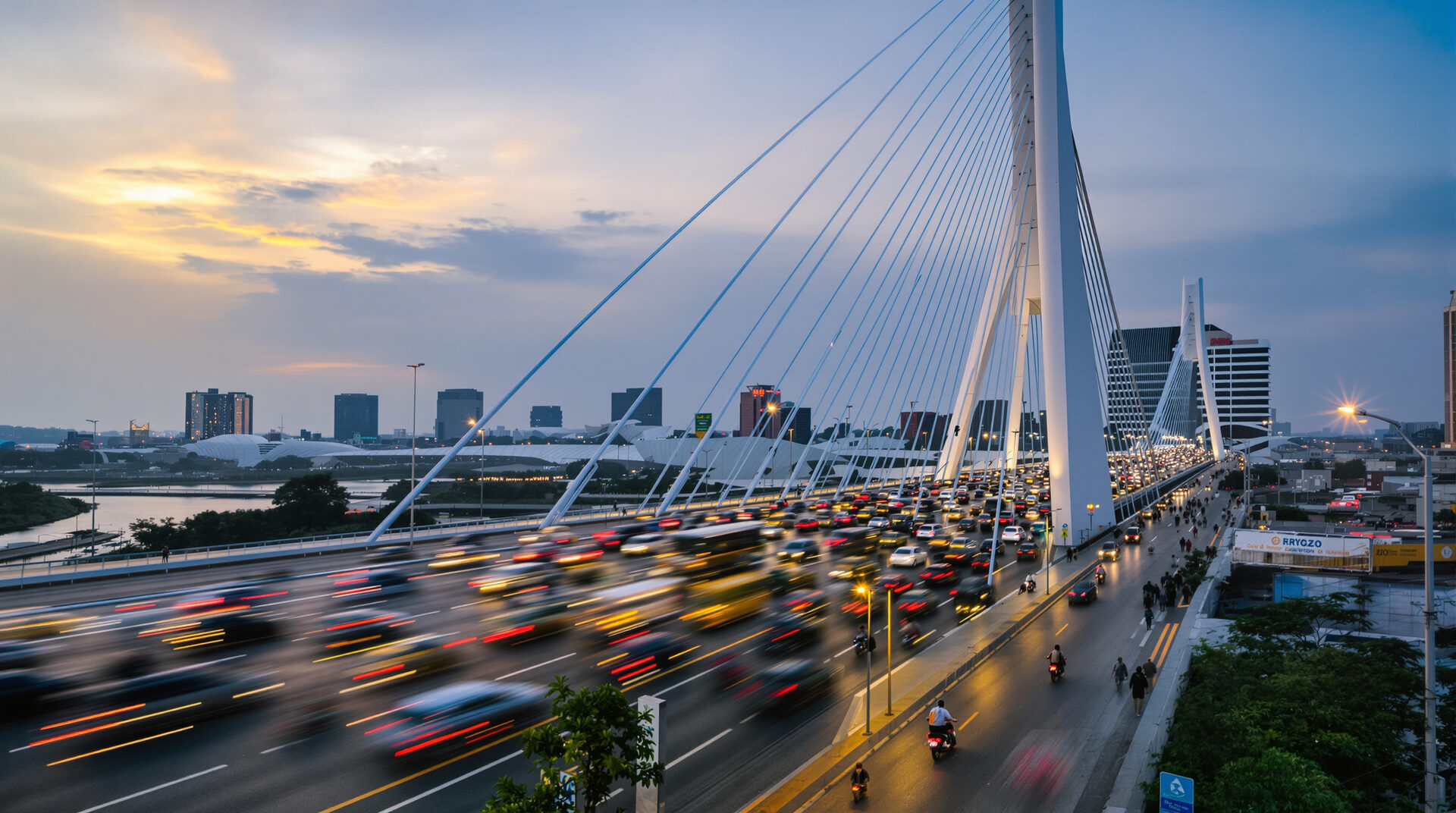
Crossing the river
Three operating crossings: the Thu Thiem Tunnel (1.49 km, six lanes, free), Bridge 1 (Nguyen Huu Canh corridor, six lanes), and Bridge 2 / Ba Son Bridge (central District 1, six lanes, the most-used current crossing). Bridges 3 and 4 will add District 4 and District 7 connections later this decade.
Ride-hail and taxis
Grab is the dominant ride-hail in Vietnam and works smoothly from anywhere in Thu Thiem. Be (Vietnamese alternative) and Xanh SM (electric) are credible secondary options. Traditional taxis are easy to flag near the major residential podiums.
Public transport today
Bus routes serve the Thu Thiem perimeter — 19 and 88 are the most useful for District 1 connection. The bus network is functional but slow at peak; ride-hail is the practical choice for time-sensitive trips.
Metro Line 2 horizon
The future Metro Line 2 Thu Thiem station will be the most cost-effective public-transit option for District 1 trips. Construction timeline has slipped repeatedly; the Thu Thiem extension is expected to open in the 2030s.
Transport & Getting Around FAQs
Are transport & getting around available in Thu Thiem?
Yes. How transport actually works in Thu Thiem in 2026 — the bridges and tunnel, ride-hail, buses, the future Metro Line 2, and the practical commute patterns to District 1 and the wider city..
How does this compare to Thao Dien / An Phu?
Thao Dien and An Phu have a more established expat-oriented infrastructure today; Thu Thiem is growing fast and will catch up over the next 3-5 years as the master plan matures.